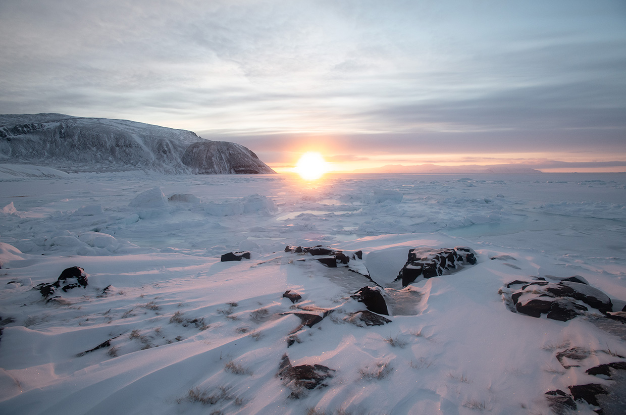
Greenland’s Above-Average Start To The Season; La Niña Winter Inbound, Say NOAA; 3.4MM Per Year; Desperate Mann; Scientific American’s Ideologue-In-Chief Quits; + 96 Spots
“The most dangerous man to any government is the man who is able to think things out…”
 Unlock with Patreon
Looks like TS Sara will dissipate over the Yucatan peninsula over the next few days. Circa 30 kts of wind coming ashore in Honduras at 1100GMT, Friday.
possibly ocean sea levels in creasing, take all the ships, tankers ect , the displacement might find hidden treasures ???? PhillAU
Good point. There is also space debris raining down from space 24/7.
Can anyone answer this question. If you take a 10 foot wide pipe that is one mile long with ten present of each end buried in dry ice. What happens to the air pressure at the center or equator? Does the cold dense air at both ends cause compression to the remaining air raising the temperature at the center?
The reason I’m asking is we still have snow in both
hemisphere according to the GFS model. We also have a late season tropical storm. Is compression keeping the tropics warm?
The pressure equalizes through the length as no end is closed. The atmosphere is open to the sky and the hot side (sun side) of the atmosphere rises and falls daily a huge distance in response to the change in density.
If the poles were to “press on: the equatorial region, the atmosphere would bulge in response.
A dense parcel of air compresses the air below it. It could be dense because of temperature or content like condensed water vapour. If the air below cannot escape to the side (as in a valley or bowl) the temperature does indeed rise, though not much. In general these are non-issues except where a chinook could form.
The atmosphere does bulge at the equator. Among other things centrifugal force makes a contribution.
Good to know info about the altitude of the stratosphere at verity’s latitudes.
66,000 ft; 12 mi
Near the equator, the lower edge of the stratosphere is as high as 20 km (66,000 ft; 12 mi), at mid-latitudes around 10 km (33,000 ft; 6.2 mi), and at the poles about 7 km (23,000 ft; 4.3 mi).
Stratosphere – Wikipedia
en.m.wikipedia.org/wiki/Stratosphere
Cap, your hope for Scientific American is laudable but note that those who hired Helmuth will be hiring her replacement. Scientific American has been failing for decades. Helmuth was just the latest in a long line of Editors in Chief that have been pushing a political narrative. I have no hope of a rapid recovery to real science reporting at that once great magazine.
Oh by the way ski season in Oregon has started two weeks earlier than what was experienced over the last 15 years due to all the snow.
A rather muddled question. Is the pipe sealed? By dry ice do you mean solid carbon dioxide or solid ordinary ice and at what temperature? Assuming a sealed pipe, the ulrimate effect will be – uniformly – reduced temperature and pressure and unchanged density.
Sorry for the confusion. To clarify the buried ends of the pipe would be sealed off. The Dry ice would be at -108 f or lower and the unburied pipe lengths would receive sunshine.
It would all depend on the details. Temperature gradients would be set up from the middle to the ends. Horizontal convection would move the air around to moderate the gradients. By assumption (a narrow pipe) there could be no vertical convection to speak of. The density would still TEND towards uniformity
(gas always expands to fill a closed container, after all).
GRAVITY and the SPINNING of the Globe have effects in our real world and that is why in the case of an atmosphere, open to Space, it is all much more complicated than any highly artificial thought experiment can imagine.
Europe/Netherlands
Autumn Europe SEPT 2022-2024
The European continent has more difficulty
being cooled from the sea and especially from the west and northwest
of the Atlantic Ocean.
This has become worse and started in the autumn of Sept 2022
Western or northwesterly wind direction with a “short distance” do not reach
the continent sufficiently and continue to spin around at sea due to
high pressure blocks with a vertical air pressure
the wind direction is over a “long distance” from southern Europe
to northern Europe, of which the warm air type mainly comes from the Sahara area between Morocco and Tunisia, this has occurred more often in the last 2 years, mainly in summer and autumn.
The UN knew this – The United Nations already knew this, they predicted more heat for the coming period,
which is striking.
Sept-Oct 2023
Autumn has a lot of trouble cooling the
continent, low pressure systems from the west and northwest of the
Atlantic Ocean remain stuck at sea and cannot transport cool, colder sea air to the continent.
Sept 2022 – Sept 2024
Nothing has changed in this, it has only become worse
especially persistent high pressure blockages, which prevent any form of
cooling from the Atlantic Ocean, especially from the west
and the northwest, so there is a lot of delay
some cooling will follow, but then via Norway and via a detour via Russia temporarily.
Hunh?
I think only Lester understands what Lester is saying.
Lol!
Low pressure over S Finland today bringing cold N wind over Norway 60mph, That low nudges into Russia a bit and a low pressure goes into UK from the West, NW wind 65mph off Ireland tomorrow pulling cold air down from Iceland. That low pressure goes N of Berlin Tuesday bringing cold air down from off Norway N wind 65mph. NW wind 55mph from Rotterdam to Bern at the base of the Alps. Blocking high pressure gone. High pressure W of Portugal, 30.3″. Sub freezing UK and EU by Wednesday and way below zero in the Alps. Snow forecast UK to Greece, Turkey and Iran.
East wind S of Greenland 80mph going around a low off Nova Scotia.
Four low pressure areas. One off NW US, one center US, one NE US and one N of Berlin. 111mph off Oregon in that low pressure forecast Tuesday. Heavy rain from Frisco to Kitmat BC. Heavy mountain snow down to C California mountains seven feet of new snow forecast NW of Reno next ten days.
Europe/Netherlands
Today is finally the real autumn cold Entered via a northwest current to the European continent, where we have been Had to wait for it, inclement weather with showers and hail in between and temperatures between the 5-8 degrees finaly
No more Atlantic hurricanes going up over Norway into the Arctic. Sea temp still warmer than ave up to Svalbard and above W Arctic Russia. 46F N of Norway take a while to ice that over and block between Greenland. I didn’t look at the forecast past next Wednesday they have no idea what it’s going to do the models update by the hour always changing. Greenlan’s got the big high pressure now, -52F
https://www.windy.com/-Pressure-pressure?pressure,62.805,-6.776,3,i:pressure,m:fGlaeUK