Out-Of-Season Snow Clips Southern Spain
‘The Science’ confidently called (still calls) for a summer of devastating drought across Europe. This week, however, the rains –and snows– are hitting heavy, rendering those agenda-driven fears nothing but gun-jumping garbage.
Below is the Total Accumulated Precipitation expected over the next two-or-so weeks (even after the recent deluges):

An anomalous chill continues to accompany Europe’s record-setting precipitation…

…cold is leading to much of that higher elevation rain falling as yet more spring snow.
This is true even in southern Spain.
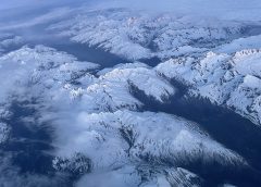
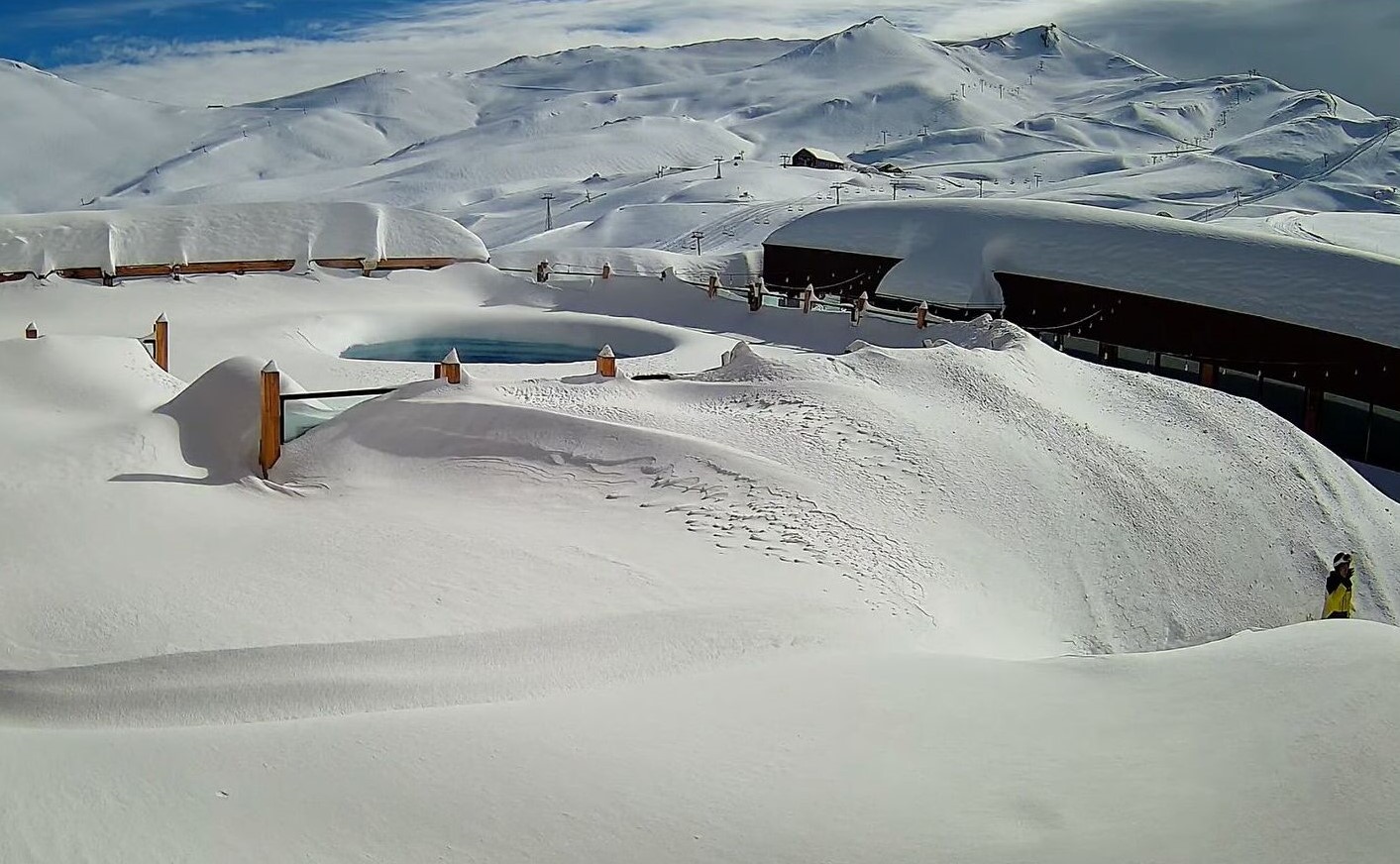
Here, the Sierra Nevada mountain range –located in the Andalusian province of Granada– is witnessing “significant accumulations,” reports Meteored, courtesy of @websierranevada, with “more of the same expected in the coming days”.
Europe’s snow has come later this year, but is now comfortably making-up for those much-documented winter deficits.
Below is a look at Mt. Triglav in the eastern Alps:
This inconvenient real-world reality has been met by a suspicious MSM hush.
Those propagandizing shills will of course be back, likely during an inevitable summer heatwave, but for now, Europe isn’t providing the ‘catastrophism sauce’ the AGW Party had hoped for–that it had fully banked-on just a week prior:
All this makes a stark change from the May of 1922 when a “Record Heat Wave” was gripping the likes of Paris and the Alps.
“The heat wave in the Alps region has broken a 90-year old record for May”, reads a New York Times article dated May 25, 1922 (shown below). “Snow and glaciers are melting rapidly and the Rhine and Rhone are rising,” continues the alarmist commentary…
Europe could sure go for some of that century-old warmth right now: Low temperature records are falling across Italy, Spain, France and Germany–to name just four nations, with heavy late-spring snow continuing to pelt the continent’s mountains.
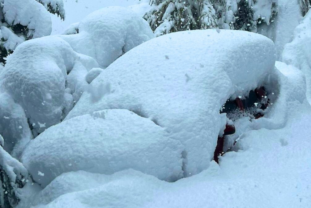
A Meter (3.3 ft) Hits Parts Of Kyrgyzstan
Snowfall has been hitting parts of Issyk-Kul, Kyrgyzstan for three consecutive days now.
The head of the Issyk-Kul Road Department stated that the Bokonbaeva-Tosor-Jyluu-Suu road is currently covered in snow.
The Tosor Pass, too, has seen snow accumulate up to a meter in certain areas, according to an akipress.com report.
This part of the world –that is ‘Asia’– is coming off the back of a truly brutal winter.
Back in January, Kyrgyzstan’s Issyk-Kul lake (the “lake that never freezes over”) froze over. Due to its sheer depth and natural warmth, the lake is of intrigue to scientists as its waters don’t freeze–hence the name Issyk-Kul, which translate as “warm lake”.
On Jan 14, however, thick ice formed across the body of water, bemusing locals.
“We have never seen anything like it,” one man told Reuters.
“In some places the ice was 1.5 meters (5ft) thick,” said another.
“Unprecedented” Frosts Destroy Northeast Vineyards, Orchards
Late last week, temperatures across the Northeast plummeted below freezing, felling long-standing May records and putting the region’s burgeoning crops at risk. According to early damage reports, many growers have lost everything.
Crop-destroying frosts are historically rare in these parts, namely because bud break generally occurs too late in the season for frost to be a concern. This May, however, plunging Arctic cold enveloped the region sending the calendar back to January.
“The Finger Lakes have never needed frost protection in the past,” said Paul Brock, winemaker and co-owner of Silver Thread Winery, New York. “This is new for us. Nobody I have talked with has ever seen anything like this—going back to the 1970s and earlier.”
Temperatures were truly exceptional, with readings in the 20s sweeping the likes of the Champlain Valley.
Montpelier logged a record May low of 25F, while Burlington tied its historic low of 28F.
“In my 25 years of working with fruit crops in Vermont, I have never seen frost or freeze damage this extensive,” said Terence Bradshaw, associate professor at the University of Vermont Extension Fruit Program. “The widespread nature of this event is unprecedented.”
Late-freezes often hit orchards harder than vineyards due to grapes having the ability to produce secondary shoots later in the season — Scott Farm Orchard in Dummerston is feeling this reality, fearing a 100% loss of its apple crop.
“This has a devastating impact on so many levels,” wrote Erin Robinson, the farm’s resident orchardist. “The workers who rely on us to come here and work to support their families back home, the farm itself surviving, our beloved customers and community who love what we grow and get nourishment from our trees gifts, and the cider makers who use our fruit to make their magic. The ripples go far.”
Still, despite grapes ability to re-shoot, Kendra Knapik, president of the Vermont Grape and Wine Council, wanrs that the roughly two dozen commercial vineyards across Vermont alone were still going to be hit with “some pretty big losses.”
“It’s just a really sad week,” she said.
State officials toured Shelburne Vineyard on Monday –one of Vermont’s largest grape producers– and estimate that 50% of the crop was gone, with “that number expected to climb,” according to Ethan Joseph, head of vineyard and winery operations there.
Looking ahead, another round of plunging polar cold is on course to buffet the Northeast this week:

This will be followed by a brief warm-up, but then chased by yet another late-season cold blast come early-June (however, we’re entering the unreliable timeframe here with forecasts subject to change past 96-hours-or-so):

‘Blues’ and ‘purples’ are set to engulf more than just the Northeast — the Eastern half of the U.S. will also be feeling it:

With the Southeast copping its own wintry-like walloping starting tomorrow, May 25, and running through the remainder of the month:

Further reading:


The 50-50 prayer request. It’s time for a humanity reset. It’s time to ask God to relocate the elites to geography that will make them more comfortable during the global warming heat waves. That will be above 50* north & below 50* south. I’m going to make the 50 – 50 Request every day. Pray with me. It might work. God had his one and only Son killed by the elites. It seems like the elites kill everything they touch. They must be proud!
God has already made plans for everyone who does not support the coming of his kingdom over the earth, Please read Daniel 2:44, or even better read all of Daniel chapter 2, This shows Gods time line of when the kingdom of God will begin to rule over the earth.
the mainstream media were very quiet about the mount etna eruption,the biggest since 1992..the ash cloud is very extensive and can be seen here https://www.windy.com/-Show—add-more-layers/overlays?tcso2,40.824,15.632,4
************
whom do you think is bringing down the pain?
You don’t tend to notice the effects of UHI on TropicalTidbits , HOWEVER I don’t know whether N.Y.C. down to Long Island has a particularly strong effect or have a micro-climate. They don’t seem to get the temperature extremes of the surrounding area.
I’m not sure if the models used by TropicalTidbits produce mesoscale forecasts that would show up the UHI of a city, even one as large as New York. It’s likely to be a micro climate partly due to being on the coast and partly due to the fohn effect with northerly winds descending off the Appalachian mountains. There’s something very similar where I live in Inverness, which has mountains on 3 sides and is on the coast. In winter it’s not uncommon for overnight temperatures to be 8-10C higher than places only 20-30 miles inland, and despite being in Northern Scotland more than a dusting of snow or snow that lies for at least a day isn’t all that common and some winters doesn’t happen at all.
Thank you Cap. I send all of your articles out to many others and many say they have never seen this info anywhere else.
And I asked NASA and they sent me to USGS and they blah blahhed that is has just changed 10% in the last 200 yrs…BULL.
Tired of crap Govt workers lying to my face.
What is happening with the Beaufort Gyre now…can the ‘collapse’ of that cause a mini Ice Age in a short time? I have people asking me and I do NOT know the answer.
Thanks cap.
According to climate reanalyser North atlantic SST as of May 2023 are at an all time record breaking high, whatever this means is energy . El nino though generally makes for less hurricanes in the Gulf.
I think the a collapse of the Beaufort Gyre on it’s own would lead to a period of lower temperatures especially for Europe due to the knock on effect it could have on the Gulf Stream. However it probably wouldn’t result in anything like the LIA unless it coincides with a multi decade long solar minimum. It’s also unclear to me what “a short time” means if scientific papers say this i.e. do they mean 1-2 years or 10 years.
Great Going of finding this snow graphic of Mt. Triglav in the eastern Alps, Cap!!
It’s another great example of something that should be going down which is
going up!!
With the volcanoes going off it should be another record winter, then next year
we do have the planetary alignment where the earth is pulled a million mile
further from the sun to cool us off in Nov 2024!